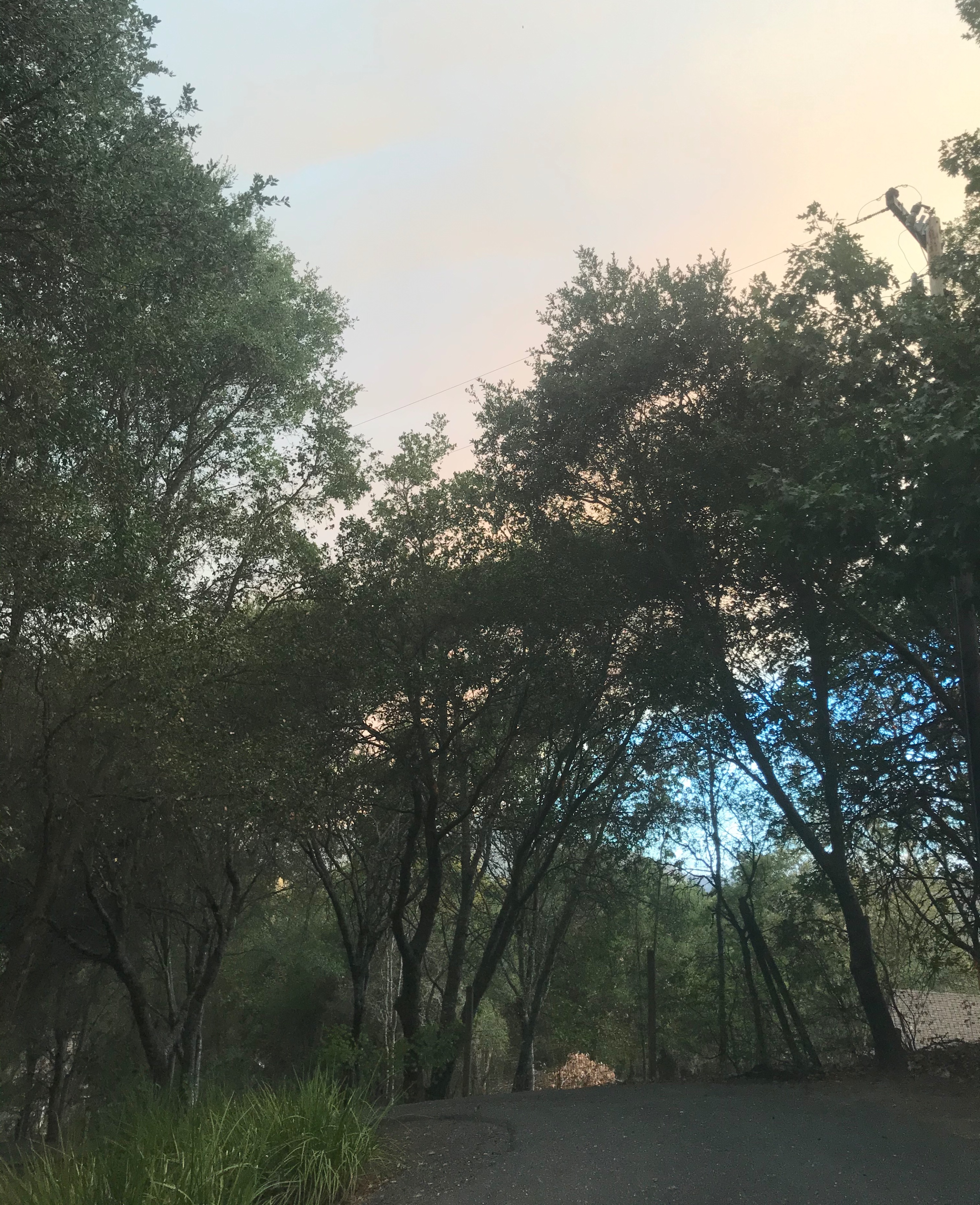
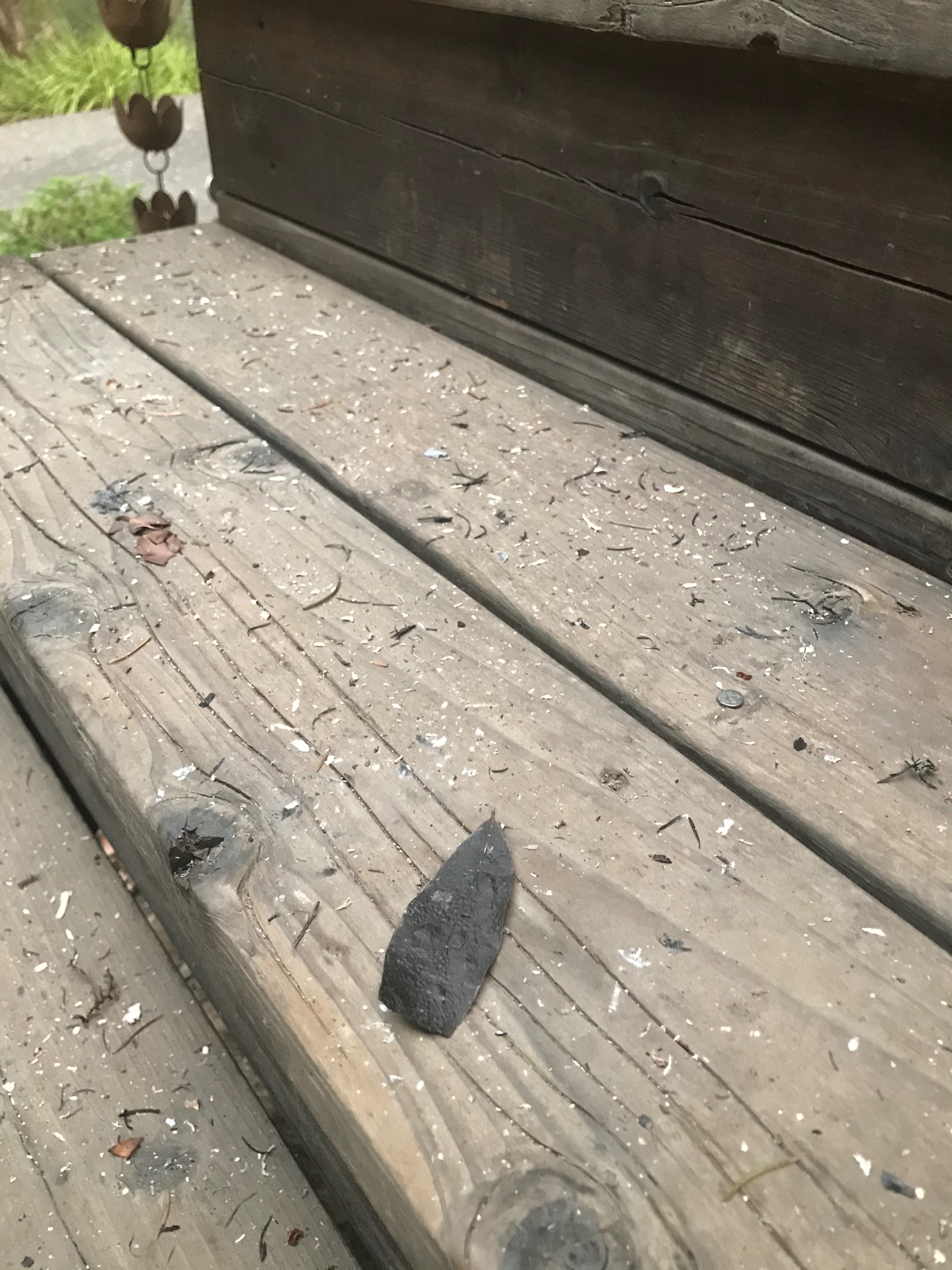
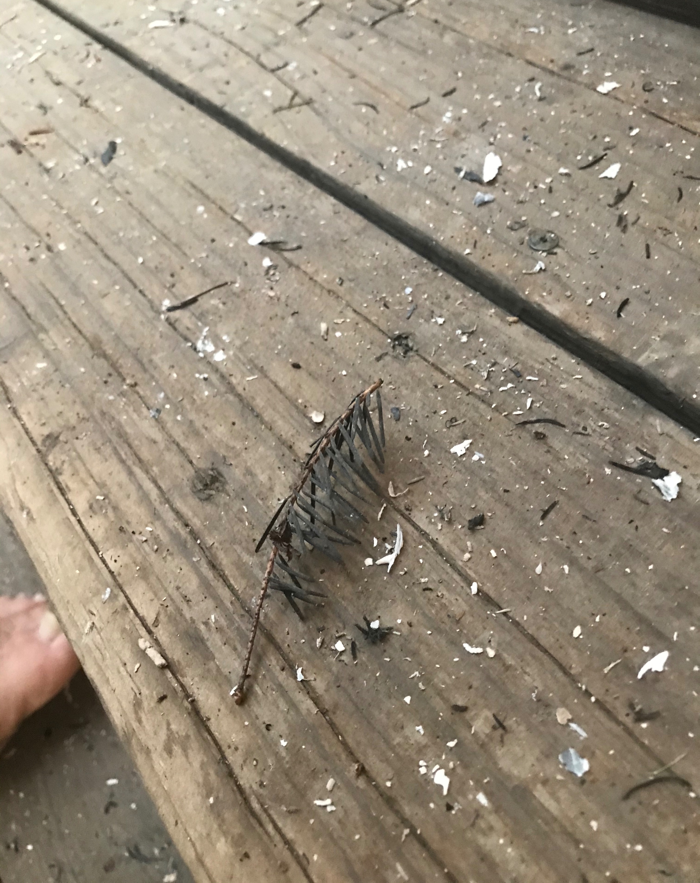
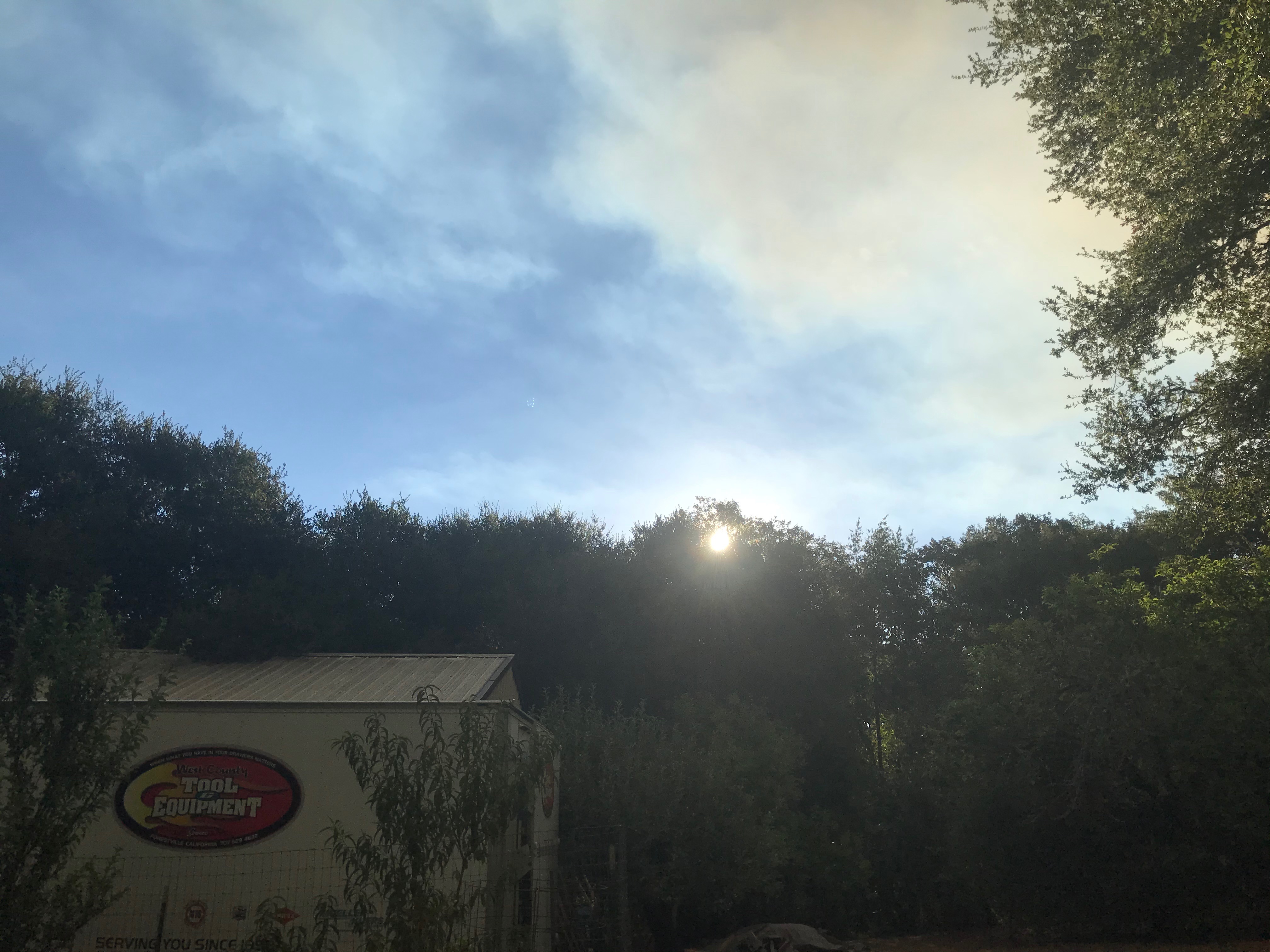
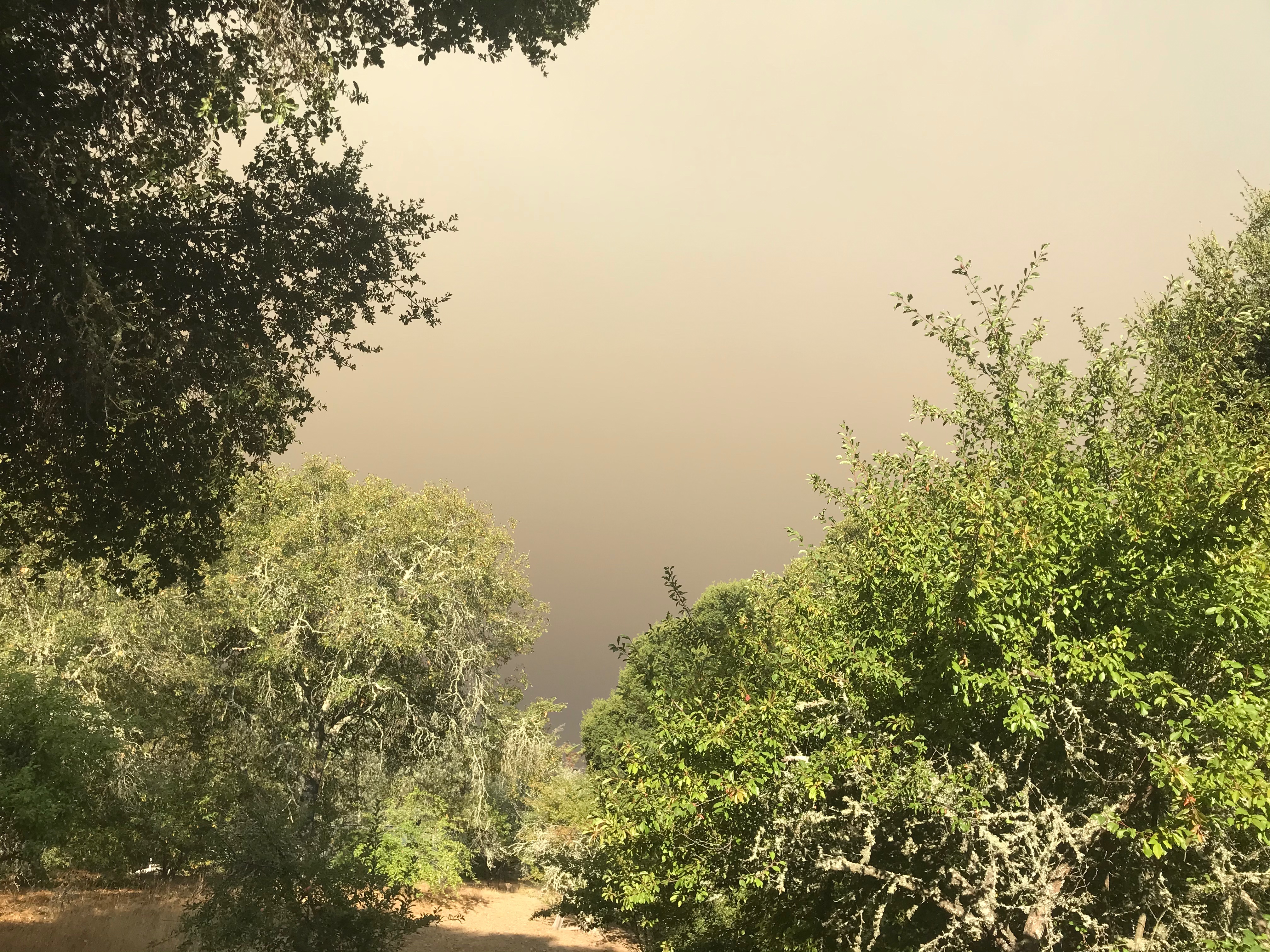
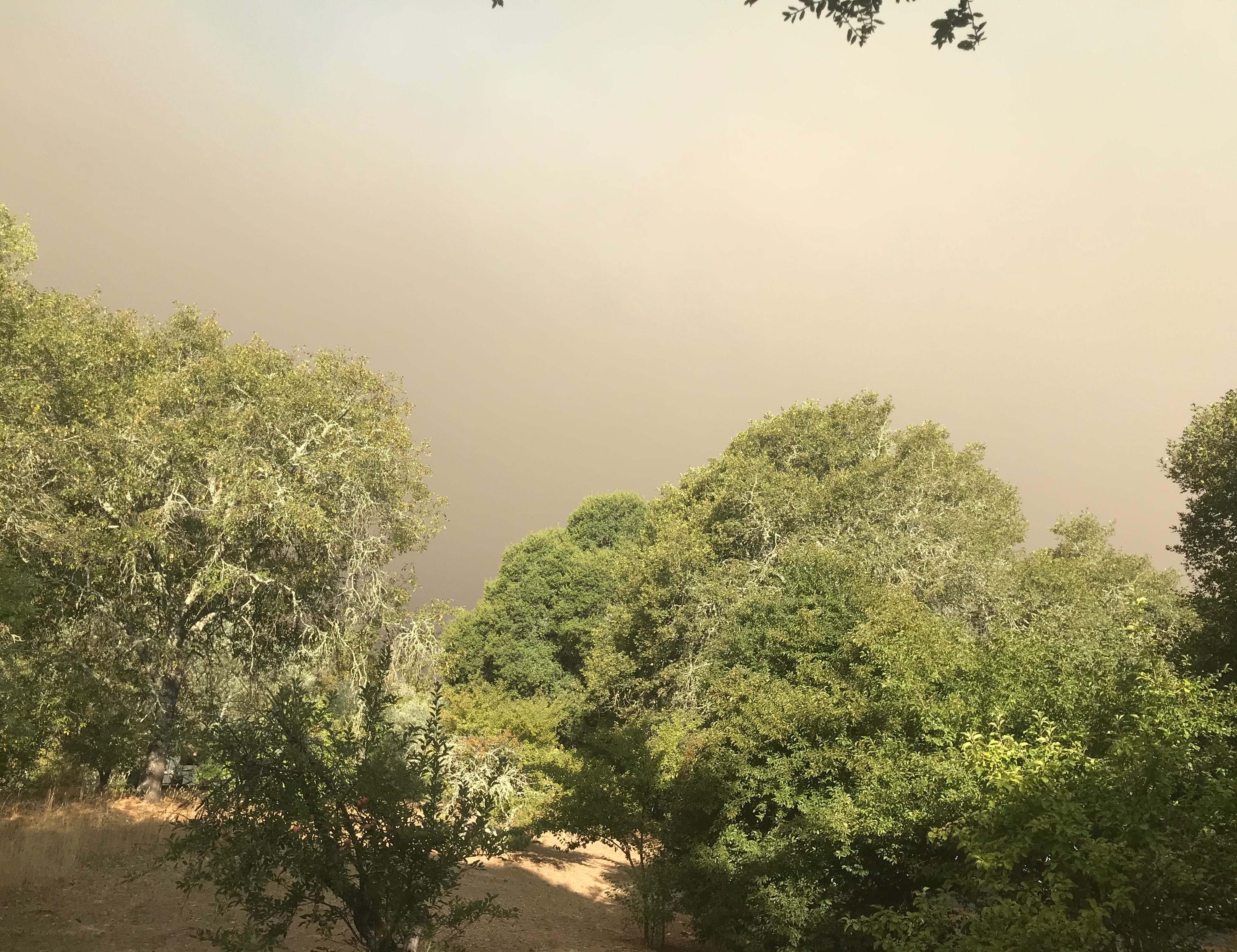
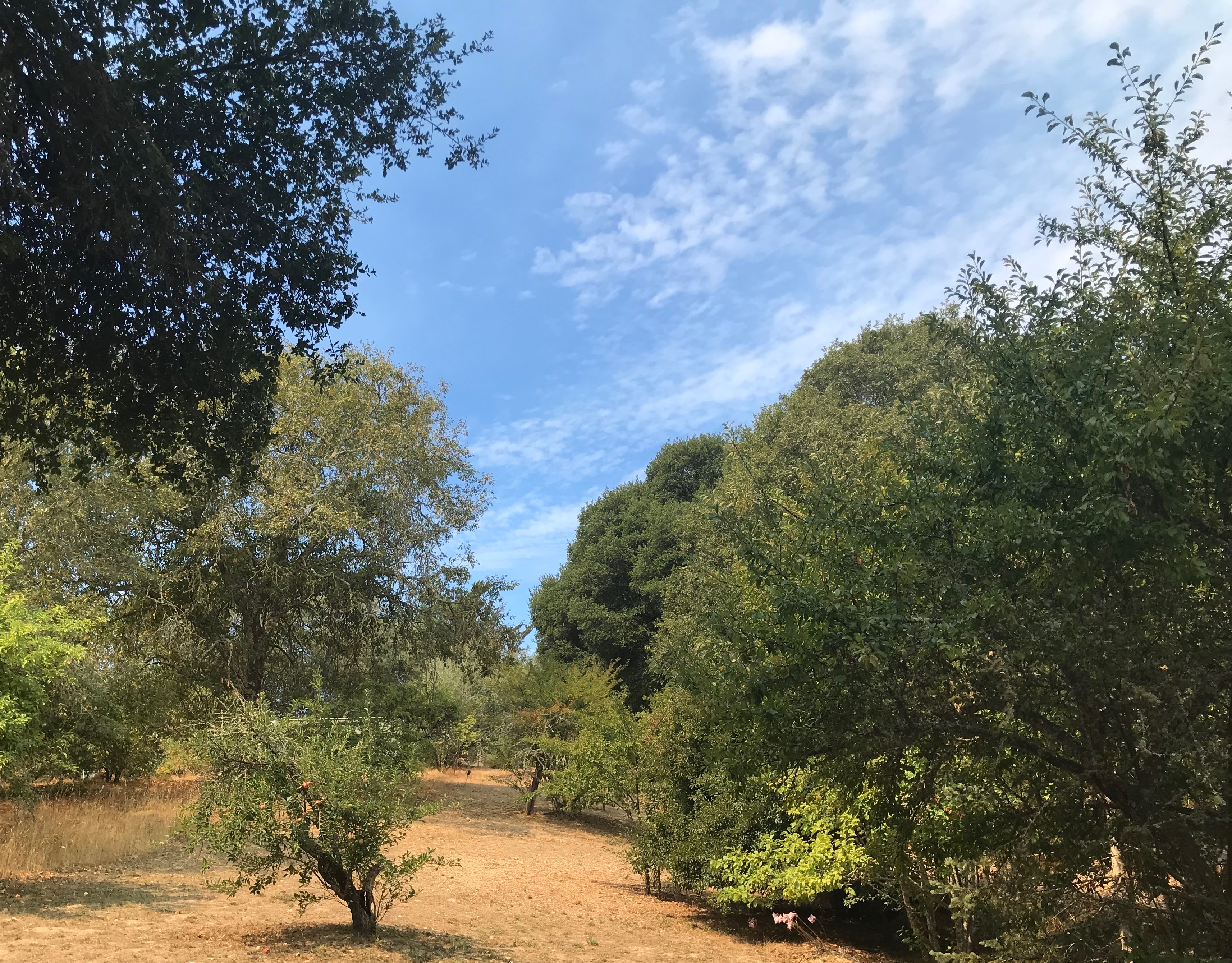
Weird to awake to charred bay leaves and fir leaves littering your property. At least they were not glowing when they hit the ground. Fire line is still about 15 miles away and while they have a mandatory evacuation in order for everything north of the Russian River not everyone has left. My Sister-in-law called this morning from Rio Nido asking if we had cat carriers to loan her if she leaves. Her Son-in-law works for CalFire so she has intel. Our next door neighbor also works for CalFire so he said he’ll call us if we really need to leave. I can still see blue sky this morning, the winds have been light to nil so the smoke is still moving to the SE for the most part. That could change as the day progresses and we’re expecting an onshore flow beginning this afternoon with an eventual cool down in the forecast after 1 more 100+° day here in Sonoma County.
SIL just came by for the cat carriers. Her Son-in-law told her the fire is over the hill from Rio Nido and she should leave. He also said it’s licking up against Cazadero to the NW. It’s grown significantly overnight and they unfortunately have limited resources due to all the fire activity across the State.
If we only knew about this Global Warming thing in advance and had taken steps to improve our situation rather than degrade it. Oh, wait…
Brian - wishing the best for you and all affected. These fires are becoming all too commonplace for us Californians.
For those who want to get additional information on the fires, the CalFire incidents webpage (2023 Fire Season Outlook) is a great resource. Taking a look at the incident map is quite scary, given the number of current fires, and explains the challenge the State is facing in terms of responding appropriately to minimize casualties.
I live in the Sierra Foothills and was supposed to play golf in Fairfield this morning but had to turn around in Dixon after my playing partner called and said he could see flames from the 80 freeway in Vacaville. He said it was raining ash all over his car when he pulled up in the golf course parking lot, which had an eerie red glow in the hills not far from the golf course. It’s quite surreal here back home, with an odd brownish red glow from the sun trying to shine through the thick layer of smoky clouds above and fine ash settling on the ground…and I’m ~90 miles from Napa/Sonoma.
Best of luck to those so much closer to this devastation than we are.
Just took the dog for a walk here in Southern Marin. Cars are covered with a smattering of ash (that’s where the ash is most obvious) and air quality is terrible. 2020 ain’t done with us yet.
Things have taken a major about face since this morning in West Sonoma County. Smoke and fire that was traveling South has abruptly shifted East before it hit the Russian River. Now the focus will be on the area of Westside Rd, West Dry Creek Rd it it pushes on in the m direction it is currently heading.
Lots of fire building looking at Mt Jackson webcam looking north. Really it seems there are fires everywhere - looking at all the mountain webcams.
Cobb Mtn camera looking towards Jericho Canyon doesnt look good.
Mt St Helena camera’s showing lots of building to the east as well.
Hope everyone out there stays safe!
Overnight our winery was directly in line with the path of this fire. While ash had fallen, smoke has been at a very high elevation rather than at ground level…at least in our neighborhood.
Thank goodness the winds have shifted gently. May it blow right back upon itself.
Between potential evacuations and rotating power outages, it’s really quite difficult to finish bottling and set up for harvest.
I got the evacuation warning nixle about 30 minutes ago. I’m staying until I see fire coming down Mt Jackson. It still then has to cross the river through the redwoods to get here.
I’m good Mark. My next door neighbor is a CalFire firefighter. His pregnant wife and young daughter are home and he said there is no immediate danger and winds Would have to change And reroute the flames. He’s keeping us updated.
They’re hitting our area hard this evening with 3 air tankers rotating in every 5 minutes or so for the past 1-1/2 hrs. They don’t want this pushing south into the heavier populated areas on the south side of the Russian River.